Workshop on the Application of GIS in Water Supply Systems
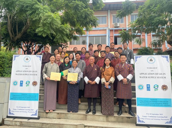
The College of Science and Technology in collaboration with the Department of Infrastructure Development, Ministry of Infrastructure and Transport has organized a ten-day Workshop on the Application of GIS in Water Supply Systems from 8 to 18 September 2025 at the Continuous Learning Hall, CST. The programme was attended by 24 engineers from RoIDs, DoID, and Thimphu Thromde. This training program is part of the ECRUL project, funded by GEF in collaboration with UNDP and implemented by Royal Government of Bhutan. The programme provided a comprehensive foundation in Remote Sensing and ArcGIS with practical applications tailored to water supply management. Participants learned key skills, including GIS concepts, data visualization, GPS integration, remote sensing, and the use of UAV (Drone) captured data for water network monitoring. They applied these tools to real world challenges such as network mapping, leakage detection, and service area analysis. A capstone project was also undertaken in groups, where participants implemented GIS-based methodologies on water supply topics and presented their findings.